The salmon farming industry should consider geo-environmental variables for its facilities
This is a project launched by Graiph.ia and the company LGX that allowed the development of a platform to analyze critical variables affecting the stability and safety of the centers.
Graiph.ia, a startup focused on technological solutions, was formed in 2006 out of an interest by a group of geologists to develop technologies that would aid in geological work processes, mainly focused on the mining industry.
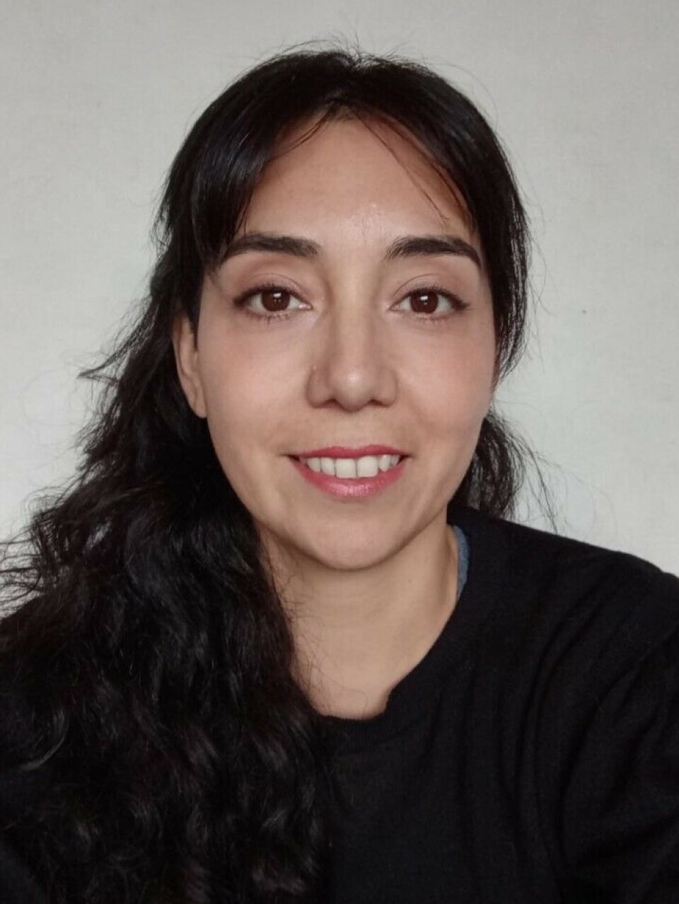
"We applied to Corfo and thus developed a platform for borehole mapping, which through images aimed to improve the work process, but not by eliminating the professional, rather as a tool to accompany them in their work," comments Daniela González, leader of the geological risks area of Graiph.ia.
Over the years, the company began to broaden the spectrum of sectors in which they could generate technological solutions.
"So, we were invited by the LGX company, part of the AEX group, to participate and observe how the anchoring and mooring of the salmon farming cages was carried out. We realized that the anchoring was not adequate and did not meet certain important criteria. It was then that we decided to direct our research to that area, since not meeting these criteria can lead to the cages coming loose or moving. This is relevant because it is important to observe the environment where the farming centers are located," explains Daniela.
"Most of the farming centers are in quite complex areas, in the fjords, in places where the weather is complex, very variable depending on the conditions. We also observed that they were located in geologically unsuitable areas, such as active ravines, that is, in places where there is nothing, but if there are very intense rains, these places become active carrying material and usually generate what is called mass movements. We also observed that some farming centers had already had problems with rock falls and had caused, for example, the sinking of cages. In some cases, the cages could be rescued, but in others the cages sank, generating an environmental and economic impact," the professional indicates.

Daniela also mentions the salmon farming facilities located near volcanoes. "This has already happened to some fish farms during the eruption of the Chaitén volcano and the Calbuco volcano as well, with the fall of ashes, rocks, and sediment in the water. In this sense, location is important, because most are in areas that are not very suitable geologically, from the geologist's point of view. Perhaps, from another perspective, it is a suitable place, open, but when you start to observe the environment a little more, you realize that they are in places that could have certain difficulties."
Platform
With all this information obtained, Graiph.ia and LGX created a proposal for the National Agency for Innovation and Development (ANID) to develop Margeo, a smart digital platform for the management of geo-environmental conditions. "It is a software through which geological variables could be analyzed, such as the location of volcanoes, the location of cages near river mouths, which in case of increased rain, carries more sediments, and the location of active ravines," says Daniela.
"And we wanted to add, obviously, the climatic factors and we included meteorological variables such as rain, wind, and the zero isotherm. This last one conditions that if a lot of water falls in areas that are accustomed to receiving rain, these sectors, the rock or the subsoil, are not able to absorb it quickly. Therefore, everything flows downwards, generating mudflows. Oceanographic variables are also included, such as tides," indicates the professional.
This initiative uses artificial intelligence. By taking these variables, the model is taught how the conditions would change. "For example, if I am in an area that has a steep slope and it happens that this area has little vegetation cover, if I add the variable of intense rains, it is most likely that in that area there will be a runoff of material downwards. Therefore, an alert should be generated or an increase in risk. So, we challenge the model with different variables, teaching it with a very simple vocabulary, what would happen if these conditions were mixed," Daniela emphasizes.
Thus, the software was tested, working with satellite images and meteorological data that change at certain times. "Geological information is quite static. Therefore, it remains as a base and does not need to be constantly updated. But with meteorological variables, you need an engine that brings this information, processes it, and delivers a response," explains Daniela.
In the opinion of the professional, a cultivation center is investigated as a square of biological information, but without understanding that it is embedded in an ecosystem. "Therefore, within this platform, we plan to include, later on, biological variables to see how all these interact, as there is clearly an interrelation because it is a continuous, open system that requires more research."
Daniela emphasizes that this platform appeals to risk management, by using information before the installation of a cultivation center or a fish farm, but it is also useful for other types of facilities. “Although our tool is aimed towards aquaculture, it ultimately is an optimal tool for any other discipline or any installation that is in places close to the coast or in areas near mountain ranges, etc.”.
Data
For Daniela, having data is of utmost importance, because in the event of an incident, having the data allows for analysis of what happened before the incident occurred, how the variables were, going back in time to identify how the events occurred, like a kind of 'forensic' analysis.
"In the event of a mass removal, I can see how much water had fallen during that time, what the wind was like, what the waves were like, and see if there is any pattern that might alert me. Unfortunately, data is often lost," notes the expert.
According to Daniela, the project for the platform was intended to start from a technology level 3, a TLR 3, and now finish it with a TLR 7, meaning tested in a real environment. So far, the goal of developing the optimal program has been achieved, but it still needs to be tested.
"We are in discussions with various companies, showing them the technology, to be able to test it, get feedback, and see how we can improve it, how we can integrate it," specifies the leader of the geological risk area of Graiph.ia.


